We have chosen Poo Poo Point in Issaquah that is beautiful, conveniently located, and good for every level of hiker! All information about the trails has been gathered from the Washington Trail Association.
Follow a sign indicating a turn to drop a few feet then hike a gentle arc to the left. In about a hundred feet reach an old roadbed and turn sharply right, heading uphill.
You will pass an old metal gate that for many years was closed and had to be detoured around. Now, it seems to be open all the time. About 400 feet beyond the gate, look downslope to the right of the trail and note an old metal bathtub, now partly filled with gravel. What its original purpose might have been no one today seems to know.
Farther along, come to a sign board with cautions about bears (yes, they’re out here, but rarely seen) and on the other side of the board you’ll find a Green Trails map showing many Tiger Mountain trails. A bit farther along there is a side trail on the left. Just pass it and continue along the main trail.
The trail begins to level out, and soon you will see a rustic sign on the left for the Adventure Trail. A bit farther along a small, quiet stream passes beneath the trail via a culvert. It comes from the direction of tiny Round Lake and seems to run all year even in dry years.
Shortly, you will find yourself beneath a major power line with a signpost located just a few feet to your left. The signpost marks the official upper end of the High School Trail. The Poo Poo Point and Section Line Trails continue from there.
Take the Poo Poo Point Trail, cross the route of a buried gas line, then climb steadily up an old railroad grade through mixed deciduous and coniferous forest. In early spring, look for trillium, bleeding heart, and yellow violets. Later in the summer, be alert for salmonberries or thimbleberries. Throughout the year, hikers can enjoy the vigorous growth of ferns and the accumulations of moss on trees.
The route traverses Many Creeks Valley crossing several small creeks, some of them seasonal, then levels out briefly to cross Gap Creek on a high bridge. This is a great place to pause and view the stream and many large mossy trees. The trail then climbs more steeply through coniferous forest. Note the many old decaying stumps, a remnant from logging days, some of them now appealing abstract sculptures in reddish brown tones.
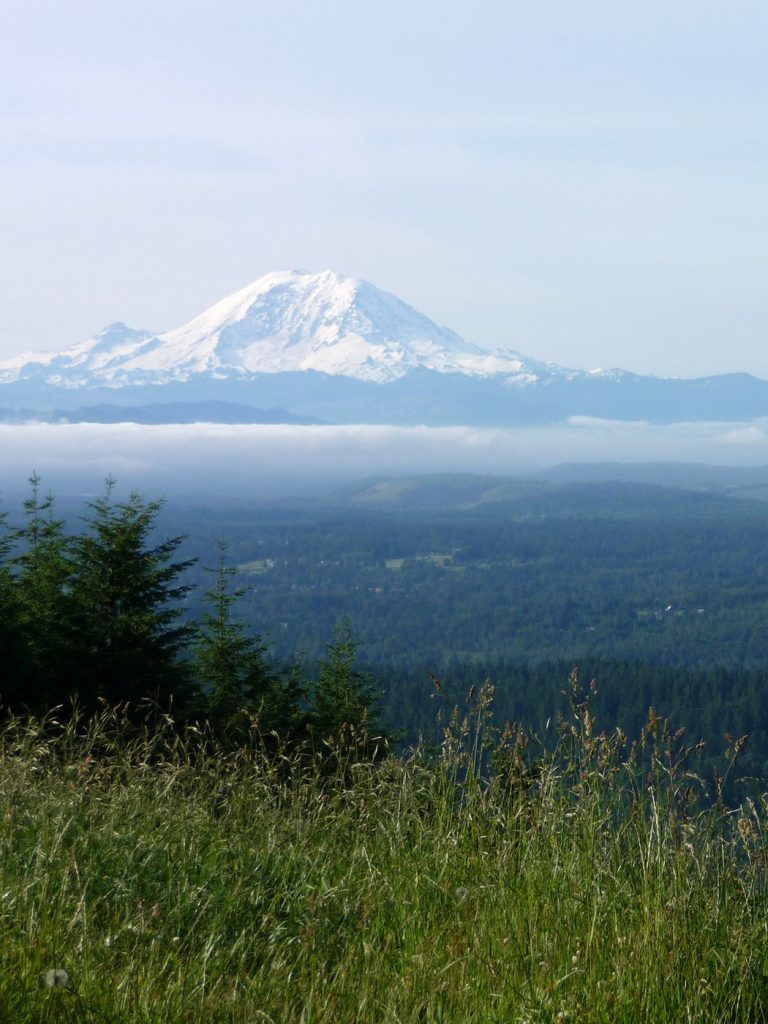
The Point is a great spot to sit and enjoy the view and have a snack. If your timing is right, you may enjoy seeing a few paragliders soar off the steep northwestern face of the Point.